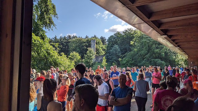
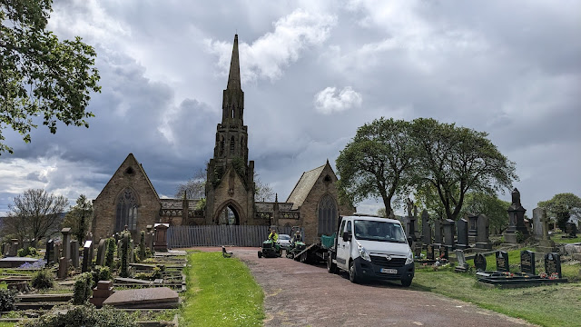
Midweek: Weetslade Colliery fantasy parkrun
Indulge me for a moment. There was a time, back in my early-to-mid 20s, that I spent a very large chunk of my spare time on the computer, playing and making mods (and modding tools) for the Geoff Crammond Grand Prix games. While I had practically zero social life (at least, in meatspace), I still look back on that time fondly as the most intensely creative period of my life.
The thing I most enjoyed doing was imagining and creating 'fantasy' tracks. That is, purely imaginary circuits that you could then race. Which brings me onto this post and run. In recent weeks, I've been playing around with the idea of "If I could create my own parkrun course, where would I do it?". Firing up onthegomap.com, finding local parks, and mapping out a 5K course has given me a feeling a bit like making F1 tracks back in the day. And tonight was my first run on one of the courses I've put together so far. In all honesty, I was more motivated for this run than I have been for any run for ages. Buzzin'!
And here's the route map:
So what's the route actually like? Two unequal laps over a mix of tarmac, gravel, stone and trail paths... and intentionally hilly. 😈 I mean, none of the gradients are as severe as places like the Jesmond Dene parkrun, but there's one long uphill section that you do twice; let's call it The Grind. It's 630 metres of gentle uphill that you first encounter just 300m after the start:
As soon as you reach the top of this climb, it's straight into a slightly steeper descent, and you move from beautifully smooth tarmac to a horribly lumpy stone and gravel track. You really need to pick your footing carefully on the first hundred metres or so and it means you can't really make the most of the gradient. Certainly on the first lap, I found myself being pretty cautious and it shows in my pace trace. I didn't bother to take a photo of this section as I ran, as I was more concerned with not jarring my knees.
To be honest, and I thought this on the run, it might be safer to reverse the route so that this section becomes a slower uphill section and The Grind becomes a highly exploitable, smooth downhill section. That could be fun.
Anyway, as it is, the downhill section continues for a total of about 400 metres before you reach a key marshalling point, where the first lap splits off from the second. On the first lap, you turn right and head towards the village of Wideopen on a vehicle track across fields.
Once across the fields and just before you reach the housing estate, you come across the Reivers Cycle Route where it traces National Route 10 and take a 90° left onto it. The course then follows this path all the way back past the base of the hill to the start of The Grind; just over a kilometre of almost perfectly flat running, with a choice of gravel or tarmac on its latter half.
Partway along this stretch, the route is joined by the second, shorter lap of the hill. While that means two streams of runners are effectively crossing each other — the first-lappers heading back to The Grind and the second lappers heading to the finish — they'll have almost half a kilometre in which to switch sides of the path, so I wouldn't anticipate any issues.
So, once we get back to The Grind, the course follows that back up to the top of the hill, and also the uneven-grounded descent down the western side to the key marshalling point mentioned earlier. At this point, the second lap heads left (it's a 3-way junction and we never take the straight-ahead option) and up the last little hill, just when you thought you were done with hills. I'll call this The Tease:
This little stretch is the narrowest part of the course, but given that it's only run after the field would have fully spread out, I don't see that as a problem at all. It's followed by around 50 yards of downhill that sees the course re-join the Reivers Cycle Route for the flat 'sprint' to the finish line, which is exactly where you started. Admittedly, that 'sprint' is actually ¾ of a kilometre, so maybe don't kick too soon.
And that's it! I have to say, I really enjoyed doing this run and I genuinely think it would make an excellent parkrun. It's got a nice, wide start and, generally speaking, moderately wide paths throughout. I'll admit that the initial downhill section after the climb has an iffy surface (at least, for someone with feet like mine), but it wasn't too dissimilar to some of the sections of Chopwell Wood parkrun in that regard. Maybe if I do the run in the reverse direction, it'll be even better? We'll see.
Perhaps the biggest issue with this venue as a parkrun is access. The car park has space for only about 20 cars and I don't know of any buses that pass by it. You could arguably park in either Wideopen or Camperdown and walk to the start, but that's quite a distance: 1.5km or 1km respectively. Maybe once the nearby Cygnet Park housing estate is completed, there'd be another parking option, but it's still not great.
So, this may have to remain a fantasy, but if you fancy a new place for a (not)parkrun and you live in the area, I reckon this is a pretty decent option. Let me know if you try it and what you think. 🙂 You've a time of 26:38 to beat. 😉


Comments
Post a Comment